Period & Description
The Romans lived in Canterbury (or Durovernum Cantiacorum ‘fort of the Cantiaci by the alder swamp’ as they called it) from around 70 AD to around 410 AD. Excavations have identified roads, a large stone theatre (near St Margaret’s Street), mosaic floors, large buildings known as mansio (an early version of a resting place for travellers, similar to a hotel), temples, and public baths (near Marlowe Arcade). Impressive displays and examples of finds can be seen at the Canterbury Roman Museum in Butchery Lane (tel. 01227 785575).
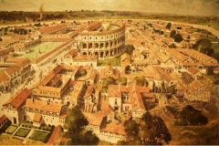
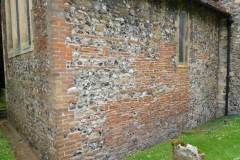
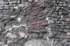
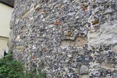
No complete buildings have survived from this time. We can, however, still see vestiges of Roman work, either in protected excavations, or as red Roman tiles seen in walls of later buildings. The first image below – drawn by John Atherton Bowen of the Canterbury Archaeological Trust – and on display in the Roman Museum – gives us a good idea of what Roman Canterbury looked like (click to enlarge).
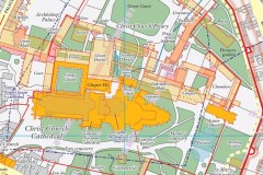
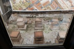
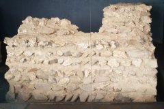
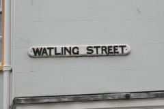
In 2021 a new historical map of Canterbury from Roman Times to 1907 was published and is now on sale in Canterbury. The second image below shows a small part of this map (mainly the cathedral precincts) with buildings of different eras marked in a range of colours. Three further images show underground Roman structures that are or have been on public view at various times. Another three images show examples of the reuse of Roman tiles in later buildings. Finally, the Roman road Watling street passed through Canterbury linking the Kentish ports of Dubris (Dover) and Rutupiae (Richborough) with London, St Albans and Wroxeter. A short stretch retains the Watling Street name.
