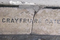
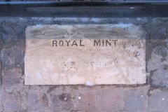
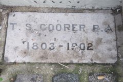
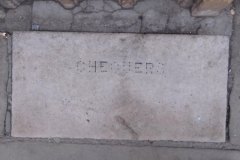
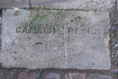
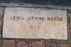
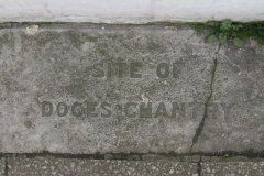
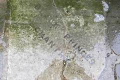
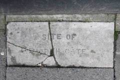
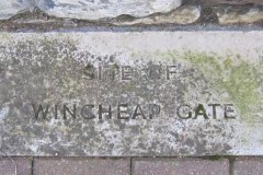
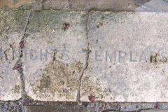
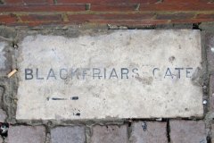
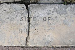
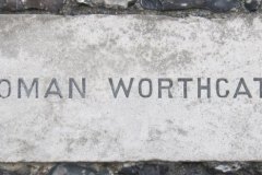
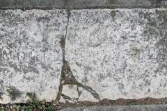
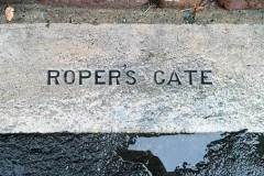
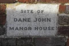
During the 1920s and 1930s Walter Cozens, local builder and founder of the Canterbury Archaeological Society, initiated a scheme for laying paving stones to denote locations for the main historical features of Canterbury city. Records are unclear on exactly how many were laid and where they were located, but we know of 17 which still exist. It appears that most had lead lettering, all now lost. Many are now cracked, dirty, difficult to read and very easy to miss. Locations are shown below (click on images for enlarged version):
1 Grayfriars (sic)
2 Royal Mint
4 Chequer
5 Cambium Regis (Royal Exchange)
6 Jews Stone House
7 Doges Chantry
11 Knights Templar
12 Blackfriars Gate
13 Burgate
14 Worthgate
16 Roper’s Gate
17 Dane John Manor House
54 St Peter’s Street (3rd eye)
37 High Street (Treds)
Cooper Gallery St Peter’s Street
1 High Street (Olde Sweet Shoppe)
by Beaney Museum in High Street
21 High Street (Tea For U)
corner of Edward Rd & Lower Chantry Lane
King’s Street near synagogue
by former St Mary’s Church, Northgate
Castle Row
King’s Street near synagogue
St Peter’s Street at the corner of the Friars.
Burgate Street at the corner of Broad Street
near the Castle in Castle Street
in front of gate on Castle Street
St Dunstan’s
Lansdown Road path near Station Road East – set in the wall, as the path bends left, just opposite the gap in the wall and steps down from the railway station car park
Note: most recent discoveries (Roper’s Gate and Dane John Manor) were reported by Joyce Ainslie – my thanks to her.
DL
Note: updated February 2024 by IO based on some observations by Nigel Price
